
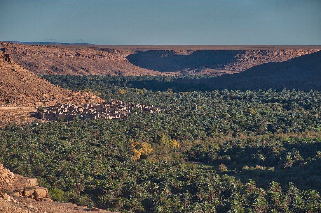
Rich & the Upper Ziz: Where the High Atlas Ends
A market town on the upper Ziz with ksar roots and layered history — the eastern door of the mountains and the gateway to the gorges.
Every mountain range has a door, and on the eastern side of Morocco's High Atlas that door is Rich. Known administratively as Er-Rich, this market town in Midelt Province sits where the high peaks loosen their grip and the waters gather into the Oued Ziz — the river that will carve the great gorges of the south.
A town that grew from a ksar
Rich developed around a ksar — a fortified village — on the bank of the Oued Ziz, on the plains between the mountains, and served as an important fortress in earlier times. Its position made it what it still is: a meeting point. Mountain tribes from the surrounding country, including the Aït Merghad and Aït Seghrouchen, have long come here to trade, and newcomers from those tribes continue to settle in town in search of work. On Mondays the souk is particularly busy — time your visit for it if you can.
Layers of history: fortress, church and synagogue
Rich's documented past holds a quiet surprise for a mountain market town: it once had both a small church and a synagogue. The synagogue remained in use until the end of the 1960s, when the town's Jewish community left — part of the wider departure of Morocco's Jewish population from the Atlas and pre-Saharan towns in those years. The church and synagogue are gone as living institutions, but they record what Rich was: a crossroads where mountain Amazigh, Arab, and Jewish communities all had a foothold. Walk the older quarters with that in mind and the town reads differently.
The road west: Amouguer and the high valleys
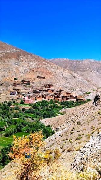
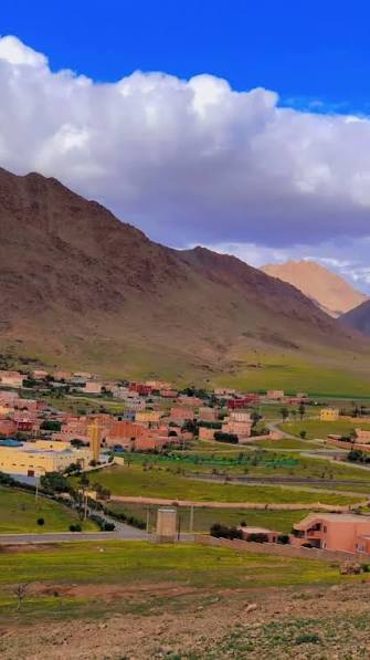
Arriving from the High Atlas, you reach Rich through the rural commune of Amouguer — farming and herding country of terraced plots and irrigation channels, far from any tourist circuit. The transition is the experience: peaks draw back, plateaus widen, vegetation thins toward steppe, and then the Ziz plain opens below. It is the gentlest possible landing after the high villages.
The road south: toward the Ziz Gorges
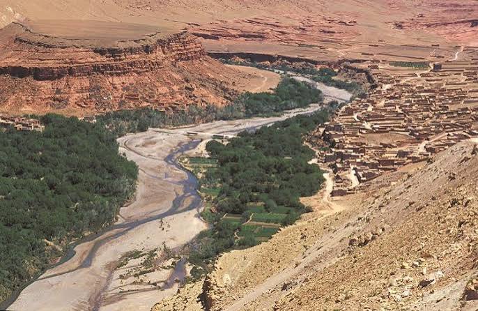
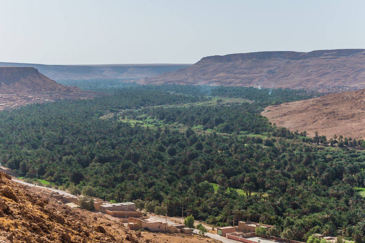
The Ziz river gathers west of Rich, then veers south to carve its passage through the rocky Eastern High Atlas toward the pre-Saharan Tafilalt. About 25 km from Rich, the Midelt–Errachidia road passes the Zaabal Tunnel — blasted through the mountains in 1930 — and enters the Ziz Gorges: around 2 km of dramatic cliffs that shift colour through the day, with viewpoints and picnic spots along the route. The gorges make a natural extension to any journey ending in Rich.
Side trip: the El Hammat thermal springs
Some 22 km southeast of Rich lie the thermal springs of El Hammat, popular with Moroccan visitors for their waters. An easy half-day add-on if your itinerary allows.
Visiting Rich well
- Market day: come on a Monday for the full souk.
- Combine: Rich pairs naturally with Imilchil and the high lakes to the west, or the Ziz Gorges to the south.
- Stay: simple town hotels — comfortable after mountain gîtes, modest by city standards.
- Onward: Midelt and Fes to the north, Errachidia and the Sahara to the south.